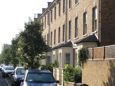
The Marcia Road houses are built on the ‘footprint’ of houses that comprised a street built in the 1880s. The modern houses preserve the proportions and window details of the originals with the exception of the chimneys and the place to store the rubbish bins. The long wall running down the north side of the Marcia Road gardens once separated it from large railway goods yards.
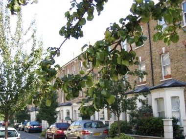
Identical but original houses can be seen in Darwin Street, near the Old Kent Road flyover.
Why ‘Marcia’? Local historian Robyn Conway has kindly confirmed that it was named after the mother of Charles Rolls, founder of the Rolls-Royce cars company, and a pioneering aviator until he was killed in his plane in 1909. (See Wikipedia article.) The Rolls family owned extensive lands in the area and there are covenants going back to the Rolls estate in the Marcia Road houses’ title deeds. Rolls Road still exists the other side of Tesco.
Second World War (1939 -1945)
There is a photo of Rose Brown, a 15 year-old milkwoman, taken on 8 February 1941, with her handcart at the Marcia Road junction with Dunton Road, where Ash’s dairy stood. According to a Marcia Road website reader who knew Rose, she lived in an alley that ran alongside Greyhound Bridge in Dunton Road. At the time of the photo World War II was into its second year – the British Army had just captured Tobruk – and presumably there was a shortage of men who would have previously done jobs such as milk delivery. TopFoto Gallery.
First World War (1914-1918)
NEW (April 2010): A page on one family’s life at 58 Marcia Road between 1910 and 1917 including a not-to-be-missed account of a death by bombing during the First World War. Marcia Road: Sanger Family History. (Opens in new window.)
Nineteenth Century and the birth of Marcia Road
In the 19th century and early 20th century the Old Kent Road, with its market (which moved to East Street when tram lines were put down the OKR) was a famous drinking place. 15 pubs are shown in the half mile of Old Kent Road shown on the 1894 Ordinance Survey map of the area (reproduced by Godfrey Maps: London Sheet 90, ISBN 0-85054-033-X, purchase online or in East Street Library). A few survive as pubs, some have been put to other uses, and some demolished.
![]()